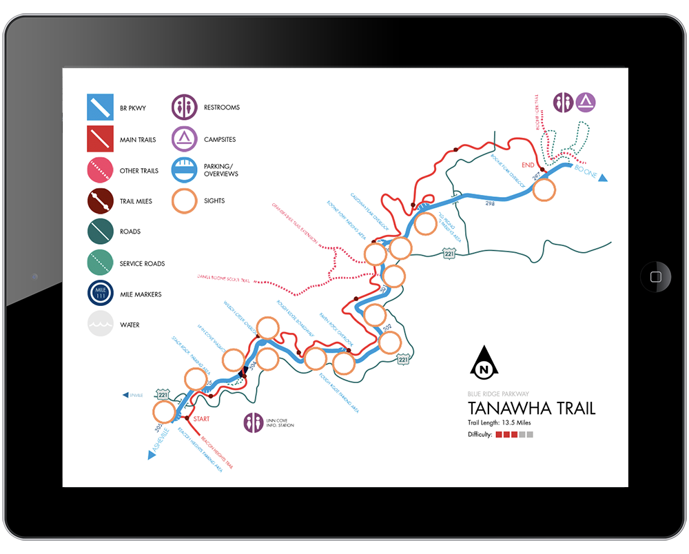
Digital Map Including Customization Features
This was a class project completed in 2014. The goal of the class was to build a functioning prototype for a responsive app. Maps tend to struggle with either too much or too little information on the page, so I wished- and am still pursuing the opportunity- to develop maps for hiking trails that had all the information and features you could possibly want, and the ability to add or remove information according to your needs.